The River Poddle
The main river that flows
through Dublin City is called the Liffey, but there are numerous other Dublin
rivers. One Dublin river that is invisible, unless you know where to look
for the signs of its existence. This river is called the Poddle, and it played
a very important part in the history of Dublin City, in fact the river helped
in the naming Dublin. The Poddle is hidden today and flows beneath the
city but in times past this river was an open source of water and used
extensively by citizens of Dublin.
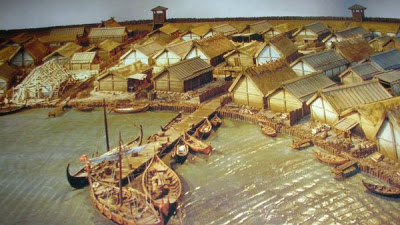
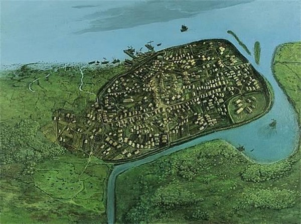
The Viking settlement founded around 841 AD was known as Dyflin, from the Irish Duiblinn or ‘Black Pool’, referring to a dark tidal pool where the River Poddle entered the Liffey, and the Gaelic settlement, Áth Cliath or ‘ford of hurdles’ was further up river. This dark pool lay at the rear of Dublin castle and was a port were the two rivers met the Liffey and the Poddle. This port was a harbour used by the Viking boats for loading and unloading of goods.
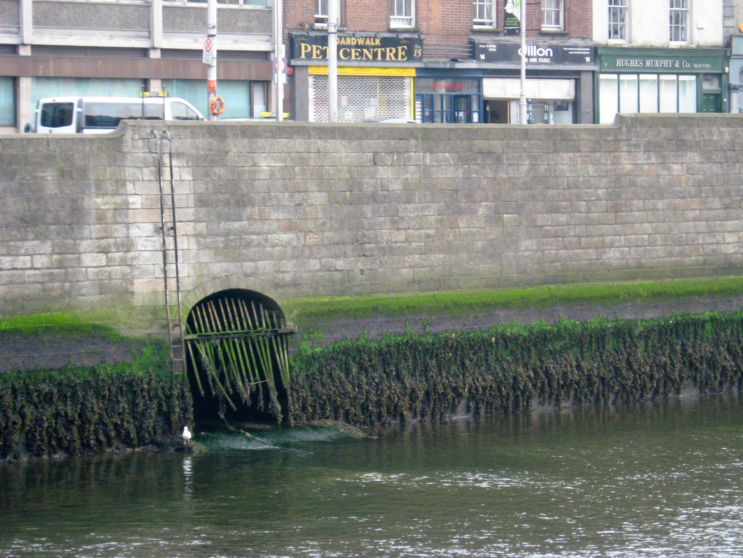
The Poddle begins as the Tymon River in the Cookstown area northwest of Tallaght village, near the site of Fettercairn House, and flows east, through Tymon North, and northeast, forming the northern border of Templeogue, towards Greenhills. Today the river Poddle flows into the River Liffey in the centre of Dublin near to the Clarence Hotel on Wellington Quay.
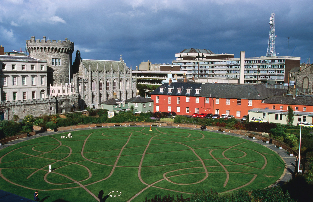
In 1592, Red Hugh O'Donnell and Art O'Neill escaped from Dublin Castle through a drain into the Poddle which runs under the castle from Ship Street gate to the Chapel Royal and the undercroft. The Poddle was later used to provide a water defence for the south wall of the castle.
For centuries the Poddle, progressively culverted, caused regular flooding and constant dampness in many buildings in the Blackpitts to St. Patrick's Street areas, and including St. Patrick's Cathedral. For much of this time, a special public body, the Poddle Commission, operated, working to manage this, and with the power to raise a special tax to support its work. During a major reconstruction of the cathedral in the nineteenth century, the graves of Dean Jonathan Swift and Stella were moved to their present location, due to the problem of the river Poddle.
More information on the river Poddle can be seen in the video's below.
Two Videos about the River Poddle
|
|
|


